Pilot Guides
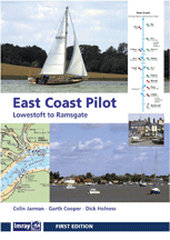 "East Coast Pilot: Lowestoft to Ramsgate" by Jarman, Cooper and Holness (4th Edition Imray, April 2014) updates and Deben and Ore chartlets http://www.eastcoastpilot.com/index.html "East Coast Pilot: Lowestoft to Ramsgate" by Jarman, Cooper and Holness (4th Edition Imray, April 2014) updates and Deben and Ore chartlets http://www.eastcoastpilot.com/index.html |
"The East Coast" by Derek Bowskill (4th Edition Imray, 1998) |
"North Sea Passage Pilot" by Brian Navin (Imray, 6th Edition 2013) |
"Cruising Guide to the Netherlands" by Brian Navin (Imray, 5th Edition 2010)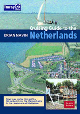 |
ANWB Wateralmanak Part 1 (ANWB/VVV 2015/16) & Part 2 (ANWB/VVV 2015)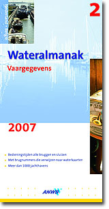 |
"Dutch Inland Sailing Pilot" by Henri Levison (Stamford, 1988) |
"Havengids Nederland" (W H den Ouden, 1992) |
|
"An Introduction to Cruising in The Netherlands" by Stuart Bradley (CA, ) "Through the Dutch and Belgian Canals" by Philip Bristow (Nautical Books) "Cruising Guide to Germany & Denmark" by Brian Navin (Imray) "IJsselmeer Harbours" by Hilary Keatinge (Barnacle Marine) HP33 Waterstanden Stromen (Dutch Hydrographic Service) |
Charts
AC1535 Approaches to Great Yarmouth & Lowestoft (Apr 2015)
AC1543 Winterton Ness to Orford Ness (Apr 2015)
AC106 Cromer to Smiths Knoll (Sept 2010)
AC2449 Dover Strait to Westerschelde (Oct 2012)
AC1610 Approaches to the Thames Estuary (Oct 2012)
AC1630 West Hinder & Outer Gabbard to Vlissingen & Scheveningen (replaces 3371)
AC1631 Goeree to Texel (replaces 2322)
SC5607 Thames Estuary, Essex & Suffolk (January 2001)
SC5606 Thames Estuary, Ramsgate to Tower Bridge (April 2001)
Dutch Hydrographic Service (Hydrografische Kaarten voor Kust en Binnenwateren)
1801 Noordzeekust - Oostende tot den Helder
1803 Westerschelde
1805 Oosterschelde, Veerse Meeren, Grevelingenmeer
1807 Zoommeer, Volkerak, Haringvliet, Hollands Diep
1809 Nieuwe Waterweg, Nieuwe en Oude Maas, Dordtsche Kil (Dordrecht)
1810 IJsselmeer met Randmeren
1811 Waddenzee West en Noordzeekust
1812 Waddenzee Oost en Noordzeekust
Nauticring Vaarkaart Nederland - Overzichtskaart


