Friday 28th June Ref: 2019/11
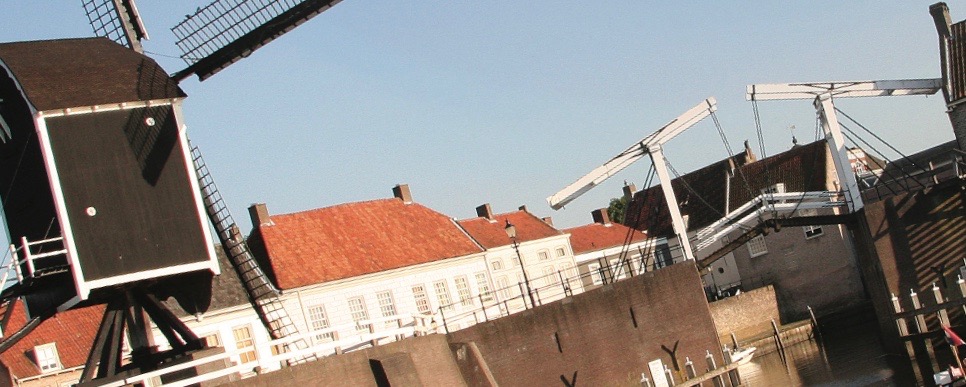
A further day with less wind cruising across the Markermeer to the southern entrance of the Lelystad harbour locking down 6m through the Noordersluis into the Flevoland polder and cruising along the Lage Vaart with its 16 bridges all of 6-7m headroom. Then up through the Kampersluis and Ketelsluis locks into the Ketelmeer and across to Schokkerhaven to the commercial marina Schokkersand


The previous evening, we had agreed to set off 9am this morning, which proved to be quite a challenge made worse by the arrival of an enthusiast for my book who kept us talking a while when we should have been preparing to leave! I also had a problem with my aerial bracket and it took a while to get all of the equipment started up and operating together this sunny and warm morning.
My wind gauge had registered just 6 kn in a north-easterly direction this morning and so I concluded that it would be suitable weather as to cruise right across the Markermeer to Lelystad, after which we could cruise inland across Flevoland to arrive in the Ketelmeer. The breeze freshened during the journey, but it was in a favourable direction and did not affect our passage and so, within 2 to 3 hours we had arrived in Flevoland.
We then dropped a massive 6 m down via the Noordersluis lock and then into the Lage Vaart, along straight waterway which boasted some 16 bridges, all of 6 to 7 m headroom, which was very convenient for Lady Martina and Ikon. All of this time, we were following a Dutch motorboat which seem to take pains to stay ahead of us so that when we eventually got the to the two locks providing access to the Ketelmeer, they were closed on us and we had to wait a complete cycle for them to be available again.
The cruise across the Ketelmeer was uneventful and we arrived at the Marina on the other side, Schokkerstrand, and was shown to our alongside moorings. There was free water and WiFi, but even at a price of two euros per metre per night, there was no free electricity. We took a walk to the marina office and, having to wait for the office to open, we enjoyed some beers on the balcony of the neighbouring restaurant/bar before making our way back to our boats to relax for the evening. It was a great disappointment that the chandlery had closed down five years ago, but the engineer found a 300 amp fuse for me, which was some compensation.