Thursday 14th May Ref: 2015/X (planned but aborted after being threatened by fresh to strong breezes)
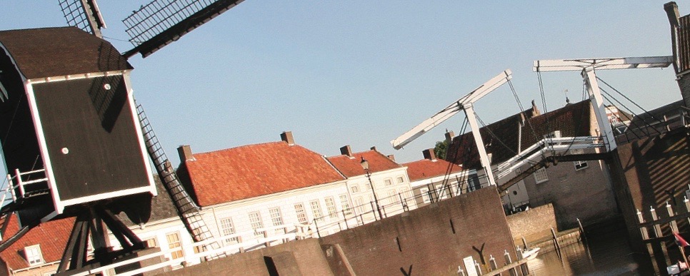
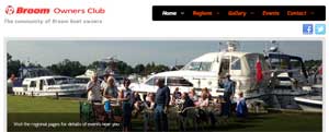
These are the details of our planned cruise for the 14th May 2015 from Great Yarmouth to Wells-next-the-Sea, which involved cruising around the North Norfolk Coast into this lovely picturesque port. This had been planned to be undertaken with a group of Broom Boats from the Owners Club, a passage of around 7 hours at 8-10 knots through the water, with two of those hours manoeuvring in rivers and estuaries. The sea passage would have started with the benefit of the north-going ebb tide off of Yarmouth and we had hoped that the prevailing breeze would be from from the south-west and so trusted that both of these factors of wind and tide would have been with us, the 2 knot tide speeding us to our destination. Then we would have been be negotiating the difficult shifting sandbanks and channel into Wells harbour, which are never to be taken too lightly. It is hoped to resume these plans with better weather and more daylight in June


This passage would have taken us around a couple of hours and around 12 nautical miles down the Yare from Brundall, under the Reedham Swing Bridge until we then joined the rest of the fleet at Berney Arms. Once assembled there, and briefed, the fleet will cruise across Breydon Water for some 45mins before we pass under the Breydon and Haven bridges (that will lift for us by prior arrangement) before we then steam along the inner harbour and beyond the piers into the Yarmouth Road to enter the sea proper around 11.30am Local Time. At this point two boats would have been arriving offshore from Hull
The passage waypoints I had planned would have taken Lady Martina through the 'Cockle Gateway' north of the Scroby sands and around the North Norfolk coast, keeping a couple of miles offshore and thus avoiding both the 'overfalls' or bumpy water that is characteristic of strong tides passing over shallows further inshore. This offshore route also had the advantage of avoiding the many and varied fishing marks and crab pots for which the shelf off of Cromer is understandably very well known!
The open sea passage would have been some 52 miles and was itself planned to take around 4hrs 45mins, arriving at the Wells Harbour bar (the sand bank outside the Well Harbour Channel) at around High Water at 3.15pm Local Time and, preferably, a little before, when we would have then skirted west of the Wells leading buoy and then steered between the red Port and green Starboard buoys that line the recently altered channel.
We would then have finally have tied up at the splendid new pontoons that make mooring in Wells so easy these days and a very different experience to that I had some ten years ago, when I last visited Wells in my former vessel, the Paxton Princess, when i had to trade half a bottle of whisky to borrow a ladder for shore access from the skipper of The Walrus dredger :-) . If all went well, I wouldl then have taken the bus to Carrow Road on Saturday to see Norwich City complete their play-off semifinal against Ipswich Town as we planned to stay in port until Sunday 18th May, before our return. I also had a hire car booked from Crmer and buses linked for its collection and return. Ugghh!
The Weather was eventually forecast for 8 degC→10 DegC ; RH tba→tba%; 1017→1009 mb falling rapidly ; We were hoping for smooth/slight seas; good visibility; and light breezes, but the detail shown in the Cruise Data box to the right gives latest predictions (as at morning Tuesday 12/5/2015) of fresh F4/5 16-18 knot breezes from the E and NE and moderate seas) was aborted by mutual consent for now. This forecast also had fresh to strong breezes later in the planned weekend trip would also make exit from Wells even more difficult too.
It is hoped to resume plans for such a trip in June with better weather and more daylight so watch this space and the BOC website.