Thursday 18th June Ref: 2015/11
The third leg of our South Coast cruise and a voyage that took us into the Solent. Conveniently, the weather was again fine two days after we arrived in Brighton, leaving the intervening day for rest and recuperation.


The weather was so good on the day that we decided to undergo this medium length passage at only 7 knots in a time of just over 6 hours hours, leaving Brighton Marina, Black Rock, close to high water and arriving at Haslar, Portsmouth (Gosport) at around low water.
The course took with the Spring tide along the south coast and then past the Selsey Bill headland on a close transit through the Loo Channel at around slack water to minimise sea state and then past the Horse Sand Fort and into to the Solent, before turing to starboard and adhering carefully to the 'Boat Channel' outside the port markers of the Portsmouth shipping lane.
The weather could not have been much better again ; very light winds, smooth/slight seas, mild temperatures and fair visibility but the direction of the breeze defied predictions and ended up mainly from the SSW. This made the sea state our passage with the tide reach slight rather than smooth but it was eventually completely calm upon arrival
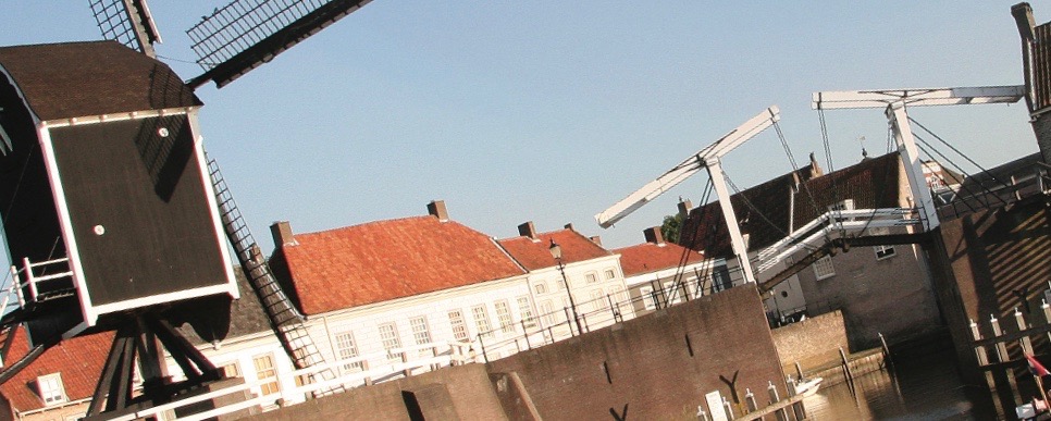
I had no luck raising Gunwharf Quays on VHF 80 or telephone and so we put into Haslar on G pontoon for the first night, a location that reasonably further in than the normal visitors berths as shelter from the numerous passing ships and ferries. This marina is huge these days with expansive inter-linking pontoons and is close to the Gosport to Portsmouth ferry for convenience. We then took the opportunity to cross over and moor at Gunwharf Quays for the second night at more cost but with even more convenience.
The weather today was : 21degC-25degC; RH 41-46-32%; 1020-1021 mb steady; 0.7-0.3m wave-height, smooth/slight seas, good viz, wind 6-10 knots wind gusting 14 knots (mainly SSWly) F2/3