Borkum to Helgoland
Thursday 19th May
 No
time to explore the island as we were up at 5am again today to catch the
flood tide to Helgoland. We had read the dire warnings about straying
into the shipping lanes along this coast and had plotted a route just
to the south on our new BSH folios of the "Ostfriesische Inseln"
and "Helgolander Bucht". The first part of the journey was to
retrace our course out to the Fischerbalje beacon and then turn north
past the beach fringed westerly end of the island. We could see the scores
of beach huts arranged over the sand even at this early hour so it must
be true what they say about Germans and sun-loungers. With the westerly
wind in harmony with the east-going flow there was only slight seas over
the Borkum Riff so we could cut the corners of or plotted route and skirted
round the 5m contours.
No
time to explore the island as we were up at 5am again today to catch the
flood tide to Helgoland. We had read the dire warnings about straying
into the shipping lanes along this coast and had plotted a route just
to the south on our new BSH folios of the "Ostfriesische Inseln"
and "Helgolander Bucht". The first part of the journey was to
retrace our course out to the Fischerbalje beacon and then turn north
past the beach fringed westerly end of the island. We could see the scores
of beach huts arranged over the sand even at this early hour so it must
be true what they say about Germans and sun-loungers. With the westerly
wind in harmony with the east-going flow there was only slight seas over
the Borkum Riff so we could cut the corners of or plotted route and skirted
round the 5m contours.
 From
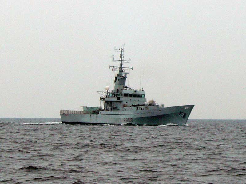
here it was a straight course along the Inshore Traffic Zone to a waypoint
north of Spiekeroog where we turned north east to the much-visited island
of Helgoland. Originally British, conspicuous red sandstone rock was exchanged
for Zanzibar and became German territory in 1890. The islanders were evacuated
after Allied bombing in World War 2 and the RAF continued to use it for
target practice until 1952. As a duty free resort it receives regular
parties of visitors and the town is crammed with shopping opportunities.
From
here it was a straight course along the Inshore Traffic Zone to a waypoint
north of Spiekeroog where we turned north east to the much-visited island
of Helgoland. Originally British, conspicuous red sandstone rock was exchanged
for Zanzibar and became German territory in 1890. The islanders were evacuated
after Allied bombing in World War 2 and the RAF continued to use it for
target practice until 1952. As a duty free resort it receives regular
parties of visitors and the town is crammed with shopping opportunities.
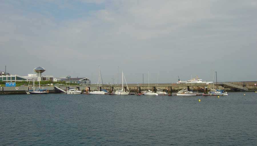
The binnenhafen is given over to the refuelling berth although it was very quiet today with only one other yacht arriving whilst we were there. At €0,80/l for over 700 litres it was much cheaper than IJmuiden although still pricey by UK standards. Fuelling complete it was back round to the Sudhafen where rumours of yachts rafted ten deep were also unsubstantiated. We had an alongside berth to ourselves next to the ramp - the best place as the only electricity is in a locked cupboard at the top. For a depost the key is available from the harbour office.
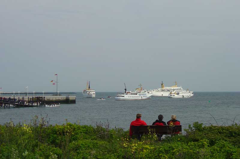 Our
exploration of the Uberland, that part of the town at the bottom of the
55m cliff, confirmed there were indeed numerous places to buy cheap spirits,
cigarettes and giant Toblerones but little else of interest. Fortunately
our schedule had us leaving the next day and the evening was just long
enough to plan our onward passage.
Our
exploration of the Uberland, that part of the town at the bottom of the
55m cliff, confirmed there were indeed numerous places to buy cheap spirits,
cigarettes and giant Toblerones but little else of interest. Fortunately
our schedule had us leaving the next day and the evening was just long
enough to plan our onward passage.
Cruising Statistics
Distance: 77 nm
Total to date: 550 nm
Avg Speed: 12.5 knots
Duration: 6:00 hours
Diesel: 472 litres, €0,80/l
Wind: S3
Mooring: €10/night
Electricity: €0,30/kWh
Water: None
Charts
BSH 3015.2
BSH 3015.3
BSH 3014.1
BSH 3014.2
BSH 3014.3