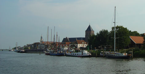
Kampen to Lelystad
Thursday 5th August
 Today
started off overcast and cooler and we were grateful to be able to catch up on
chores in a more comfortable climate. However, by lunchtime the sun had burnt
through the haze to make the hottest day so far, so we again opted to spend the
afternoon cruising rather than retreat to our air-conditioned saloon. Even on
the move there was very little breeze and it was a challenge to stay cool enough.
The cruise from Kampen was uneventful as we made our way west across the Ketelmeer
and under the uninspiring Ketel bridge into the IJsselmeer. This completed our
circumnavigation of the Randmeren, the peripheral lakes around the Flevoland polder,
which proved a very enjoyable and straightforward cruising ground. The whole area
is easily accessible, with the only potential restriction being the two fixed
12 metre bridges at the southern end.
 Along
the Flevoland coast the featureless polder landscape is punctuated only by wind
turbines and the occasional power station, and we began to wonder if perhaps a
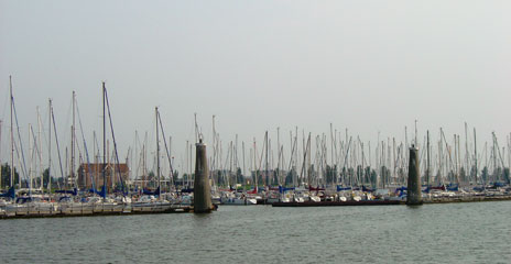
little too much extra land had been drained. Passing the outlying marinas of Houtribhoek
and Flevo Haven we locked once more through the Houtribsluis in the dyke dividing
the IJsselmeer and the Markermeer. We chose the slightly more central Lelystad-Haven,
south of the lock, where we were very excited to find an hour's wifi internet
access free with the overnight moorings. Named in honour of Cornelius Lely, the
engineer and government minister behind the scheme for retaining and draining
the Zuiderzee, Lelystad is reminiscent of Milton Keynes but on a larger scale.
Even the Lelystad-Haven is quite remote from the centre and a bike is an essential
accessory. Cycle paths join all the significant parts of town and the routes are
well signposted and frequently used.
Cruising Statistics
Distance: 22 nm
Total to date: 1393 nm
Avg Speed: 6 knots
Duration: 3:30 hours
Diesel: 60 litres
Mooring:
€15
Electricity: €0,50 meter
Bridges
Eilandbrug (16m)
Ketelbrug (12.7m)
Houtribsluisbrug (7m)
Locks
Houtribsluis
Charts
1810.8
1810.4